Three Great Rivers in Shangri-La
4 min readTthree of the world’s greatest rivers traverse northwest Yunnan in parallel valleys, flowing a mere 63 kilometers (40 miles) apart at their closest point. As mentioned in the Introduction, this parallel arrangement is an extraordinary feature that is recognizable on any physical map of the world at any scale. The three parallel rivers and the gorges they have carved define northwest Yunnan physically, ecologically, and culturally. Among the many outstanding features highlighted in the World Heritage Site nomination, UNESCO ultimately named it the Three Parallel Rivers of Yunnan because of this central defining attribute.The biggest of the three great rivers is the Jinsha.
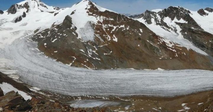
This is the tributary of the Yangze River that is used to measure its longest length, which at 6,300kilometers (3,900 miles), is the third longest river in the world. Equally impressive, the Yangtze is ranked fourth in the world in the amount of water discharged from its watershed. Like the other two, the Jinsha originates from mountain glaciers on the central Tibetan Plateau and cuts a deep gorge through Yunnan as it slides off the plateau’s southeastern corner.Downstream along the Yunnan-Sichuan border, the Jinsha joins several other large tributaries to form what in China is known as the”Chang Jiang”or Long River. It may surprise foreigners to learn that there is no river called the Yangtze in China. It is an error made by early Western missionaries, whichhas persisted for a couple of centuries.
Yangzi was the name of a village and site of an ancient ferry crossing that at one time was applied to a short segment of the lower river. It became famous in the 13th century poem, Yangzi Jiang, which was picked up by foreigners and applied to the entire river.The Lancang River lies over the mountains to the west of the Jinsha and is the second largest of the three parallel rivers. Known to most people outside China as the Mekong, it is among the 10 or 12 longest rivers in the world(measurements of the world’s rivers vary considerably). Meaning”turbulent”in Chinese, the Lancang is indeed a rough river as it descends over 5,000 meters(17,000 feet) from its glacial source.
Changing its name to Mekong as it leaves China, it forms the Lao-Myanmar and Lao-Thai borders before flowing through the center of Cambodia and into the South China Sea through Viet Nam. The Lancang-Mekong River is habitat for an extraordinary number of fish. Currently estimated to contain about 850species, the river is among the top three rivers in the world in terms of the richness of its fish fauna. But no other river is home to so many species of very large fish, including the Mekong freshwater stingray, which has a wingspan up to 4.3 meters(14 feet), and the migratory Mekong giant catfish, which can grow to about 3 meters(10 feet) in length and weigh300 kilograms (660 pounds). Many of the Mekong’s fish are in decline, somewhat from overfishing, but more critically from the recent construction of large hydroelectric dams that alter the river’s flow and disrupt reproduction and migration patterns.Like the other two great rivers, the Nu has its source in glaciers on the Tibetan Plateau. It differs, however, by flowing into the Indian Ocean through Myanmar, thus representing the western slope of Asia’s continental divide. It also differs by being confined along most of its length to a narrow canyon paralleling the crustal collision of the Indian subcontinent with the Asian plate. Despite being 2,800 kilometers (1,750 miles) long and ranked the 25th longest in the world, the watershed it drains is surprisingly small. Known to most people as the Salween River, it is one of the largest undammed rivers in the world. This will change soon. In 2011, the Chinese government approved construction of a cascade of 13 hydroelectric dams on the Nu River in Yunnan to provide power to the expanding economies of China and Southeast Asia.
In reality, it is more than just the flowing rivers that define the region. Itis the deep, parallel gorges they have carved, along with the intervening high mountains. Elevational differences between the river and adjacent mountain crests are commonly 3,000 meters (10,000 feet) or more. Today, it takes two to three days to travel between the rivers. In the early 20th century it took up to a week, despite being only 60 to 70 kilometers apart as the bird flies. In the 1920s, Joseph Rock predicted that river gorges of northwest Yunnan:
“….. perbaps will never bear the sound of a car born, for to construct a road over such mountains and deep gorges is a probibitive undertaking. And planes? Let it be said that there is not even level space to pitch a tent; much less accommodate an airplane.”
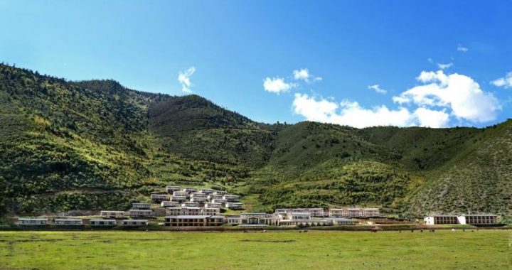
His prediction about roads did not hold, but he was spot on about airplanes. Only at the periphery of the three parallel rivers region in Lijiang, Zhongdian, and Dali was land found flat enough on which to build airfields.