Three famous forests in Shangri-La
3 min readNinong Forest, Deqin County
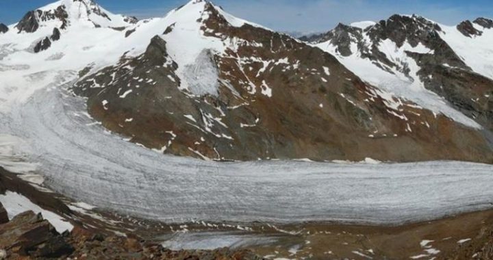
In this set of images, we are fortunate to view the forests above Ninong village at three moments in time. Norbu and I rephotographed the identical scene in 2002. Intermediate to those two dates, we are also able to view the same forests in an aerial photograph taken by the U.S. Air Transport Command in 1944.Ninong village lies along the Lancang River, just out of view at the bottom of both the ground and aerial photographs. In 1923, Ninong farmers used land in the forest high above the village to raise crops (arrow). This large feld appears to have been actively cultivated at that time. By 1944, it is clear that most of the field, except maybe the upper end, is starting to be reforested with pine (arrows). The snow cover in the aerial photograph makes the young tres easy to see. By 2002, there is no visual evidence that this place was ever used for agriculture (arrow).It appears that the villagers abandoned this dryland crop field during the 1920s and that natural regeneration of second growth forest of high mountain pine started very soon after. This feld lies a very steep 500 meters(1,600 fet) above the village. Thus it is not surprising, given the amount of time and energy needed to maintain it, that this field would be abandoned if alternatives were available. We don’t know what happened exactly, but the villagers might have been able to increase production on irrigated felds surrounding the village.
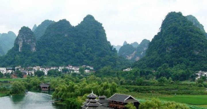
Baihanchang Lake, Yulong County
FitzGerald stopped along the east side of Baihanchang Lake to take this photo on his way back to Dali from Weixi. The opposite slope didn’t have many crop fields in 1938, but there are even fewer today. All but two have long been abandoned and a continuous Yunnan pine forest covers the slope, probably the result of natural regeneration. While abandonment of remote fields high in the mountains above Tibetan villages like Ninong is not too surprising, these relatively mellow slopes are accessible to a well-populated valley. Right behind the photo point is the village of Lunwa, and many other villages are scattered up and down this heavily cultivated valley. As explained earlier, crop field abandonment is a common land use trend across northwest Yunnan, more common than you would think with a population about four times what it was in the 1930s.
Haba Forest, Shangri-La County
Joseph Rock stood on the west bank of the Jinsha River, looking downstream at Haba Snow Mountain looming over the entrance of Tiger Leaping Gorge. Clearings in the forests have since appeared on the slopes below the summit. These are the agricultural fields of a new Yi village. In fact, smoke from a fire can be seen in the upper-center of Rock’ sphoto(arrow) and may be the beginning of Yi clearing activities. Agricultural fields on the lower slopes, occupied by Naxi farmers, are about the same today as they were in the 1920s.The Naxi lowland farmers cleared the forests along the river centuriesago to raise crops in the productive lowland soils. The Yi are mountain people and several sets of repeat photographs show that they are relatively recent arrivals. In fact, there has been considerable immigration of Yi into the Lijiang area during the past century from a large Yi enclave in adjacent Ninglang County. Yi villages routinely occupy high elevation sites with lowproductivity. Consequently, they are among the poorest of the poor people of mountainous Yunnan.