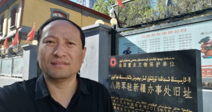
Underground Great Wall-Millennial Rhythm of Karez
5 min readThe”Karez”is not a well, but a peculiar headrace channel dug underground. The Karez, the Great Wall and the Great Canal are known as three big projects in ancient China, and the Karez was called “Jingqu”in ancient times.
The karez is an underground waterway project created by laboring people according to ecological conditions such as local climate and hydrological characteristics in order to improve their own survival ability. It is composed of four parts, namely,a vertical shaft,a closed channel, an open channel anda waterlogging dam(small water reservoir). For the depth of the vertical shaft and the spacing distance between the karezs, the vertical shaft gradually becomes deeper towards the upstream, and the spacing distance gradually becomes longer, about 30-70m; the vertical shaft gradually becomes shallowertowards the downstream, and the spacing distance gradually becomes shorter, about 10-20m. The vertical shaft is used for ventilating and lifting earth when excavating and repairing the karez. The water outlet of the closed channel is connected with the open channel on the ground, capable of diverting underground water tens of meters deep to the ground. There are karezs in Turpan, Shanshan County, Tuokexun County and Hami City in Xinjiang. There are more than 1,600 karezs in total in Xinjiang. The number of the karezs in Turpan is the largest, which is 1,044; and the total length is 3,000 km. The longest karez in Turpan is 30km, and the shortest karez is about 3km.
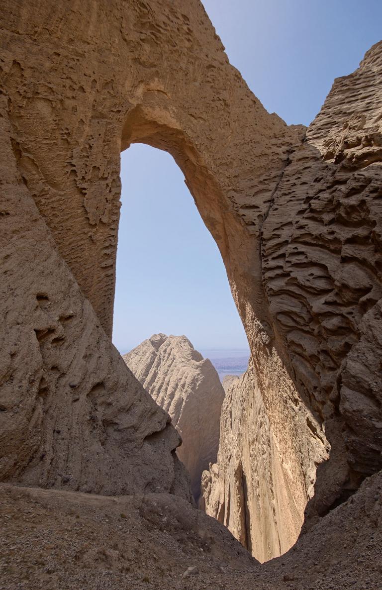
The Turpan Basin is surrounded by mountains,a circle of Gobi gravel zones are on the mountain ridges close to inner edges of the basin, and the oasis is deeper inside. The center of the oasis is the Aydingkol Lake which is the lowest lake in China. The altitude of the Aydingkol Lake is -154m. There is only 60km from the foot of the northern Bogda Mountain to the Aydingkol Lake, but the height difference between the two is over 1,400m. There is little differencebetween the slope of the underground water level here and the ground slope, which facilitates Turpan to become a basin without discharging runoff outwards. There are 183 contemporary glaciers on the south slope of the Bogda Mountain, and the area is 122.37k㎡. There are 42 contemporary glaciers on the north bank of the Alago Ditch of the Karawushen Mountain, and the area is 17.58k㎡. In spring, snow melts and the water rushes down from the mountain top. In summer, the high-altitude steam is intercepted to form rainstorms or heavy rains in mountainous areas because of high mountains. There are few forests on the mountain, and most are bare rocks, so the rainfall quickly forms the runoff on the ground surface to flow towards the center of the basin. Entering the Gebi gravel zones,50% of streams of most rivers or even sometimes all the streams permeate into the ground because of extremely strong water permeability of the gravels. Therefore,a great phreaticzone is formed on the north edge and the west edge of the basin. It is exactly the rich underground water and the slope of the terrain that have become important conditions for digging the karez. In the deep Turpan Basin, the gravels are cemented by clay or calcium, and the texture of the gravels is solid, so the excavated karez is unlikely to collapse. Turpan is extremely hot and dry, the moisture evaporation is huge, and dust fills the whole sky in wind seasons, so the canals are always submerged by yellow sand after the wind passes by and sand stops. The karez characterized by conveying the water through the underground closed channel is not affected by the season or the windstorm; besides, with low moisture evaporation and stable flow, the karez is suitable for gravity irrigation throughout the year. Therefore, the karez is very adaptable to local natural conditions.
Turpan is one of the driest areas in China. The highest temperature of the Aydingkol Lake in summer once reached to 50.6℃. There are over 30 days of scorching weather above 40℃ every year on average. Each draught has more than 100 days of gale above level 8 every year, while the annual precipitation is below 17mm, and the annual evaporation amount is about 3,000mm.General channels in this area are unlikely to successfully lead the water from mountains into the downstream to irrigate the field, but the karez is adapted to the characteristics of this region.
Compared with other irrigation forms, the ancient irrigation way of the karez has many advantages: its structure is simple,a dynamic pumping irrigation device is unnecessary, and artesian water unceasing throughout the year can be formed; it is warm in winter and cool in summer, the water is as clear as a mirror, and the mineralization degree of the water is low; the water flows underground to prevent intensive evaporation and keep stable flow in the specially scorching Turpan area, and it is not affected by the arid climate.
Everyone who has visited the karez highly praises its unique design. For its arduous engineering, karez is even comparable with the Great Wall and the Grand Canal. Well then, how to build a karez?
At first, find a water source upstream according to the position of a piece of cultivated land or wasteland to be cultivated, and estimate the burial depth of the level of underflow water to determine the distribution of the karez; consider the appropriate slope of the closed channel according to the property of the soil through which the karez may penetrate. Excavate the closed channel, usually from the downstream. Excavate the initial section and the closure gap of the karez firstly, and then distribute the vertical shafts upstream section by section. Unidirectionally or bidirectionally excavate the closed channel upstream or downstream section by section from the bottom of the vertical shaft after digging each vertical shaft. At last, revise the longitudinal slope of the closed channel from beginning to end.
One place could accommodate only one person to construct in the process of digging the closed channel, and the construction was carried out in the dark, lighted only by oil lamps. The orientation method is mainly vertically hanging two oil lamps in the vertical shaft, revising the direction and the longitudinal slope of the closed channel by the direction and height of the two lamps.Sometimes, optical solar reflectors were also used for orientation and lighting.