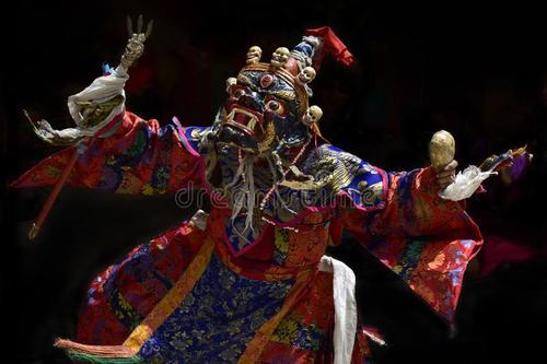
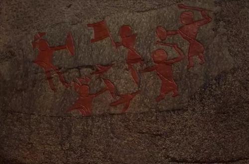
Portrait of the Qinghai-Tibet Plateau
3 min readWhat does the Qinghai-Tibet Plateau look like from the air?
The Plateau is formed by several mountain ranges,including the himalayas,Kangdese,Nyaingentanglha,Tanggula,Kunlun-Kalakunlun,and Qilian.All of these mountain ranges spread from east to west,except for the hengduan Mountains in the eastern part of the Plateau.Snaking through these mountains are three major rivers-Jinsha,Lancang and Nujiang.The ravines hold denseprimitive forests.
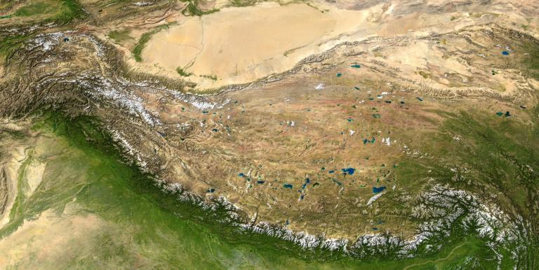
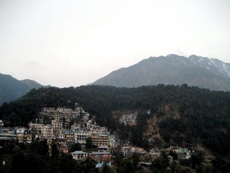
Three major mountain ranges,the Markam,Taniantawen and Boshula,are covered with snow on the top and dotted with blue glacial lakes The ravines are full of dense primitive forests.Red azaleas and green grass cover the hillside fields.Sparsely scattered villages and farmland dot the river valleys .
The northern rim is inlaid with the Qinghai Lake.West of it is Golmud City,starting point of the Qinghai-Tibet Railway now in smooth operation Southwest of golmud lies close to the Kunlun mountain across which is a vast sweep of plateau land-source of the Tongtian River,or the upper reaches of the Yangtze River.The Tongtian River faces the Nujiang River across the Tanggula Mountain,which is the highest point the Qinghai-Tibet Railway crosses.In the southwestern part of the Tanggula Mountain is a group of 6,000-meter peaks including the Geladandong,where the Yangtze River originates.
Further northwest is the hinterland of the Changtang Plateau.Tucked away at an elevation of 4,500 meters,it covers some 600,000 square km.MountaIns here rise gently.This part of the world is home to half of China’s lakes.Most of them are spread in livestock breeding area or no-mans land. They include the m Co and the Serling Co. The southern part of Changtang is home to the Nagqu River, source of the Nujiang River and its tributaries. North Tibet is the major livestock breeding area in Tibet-a world of white sheep and black yaks .
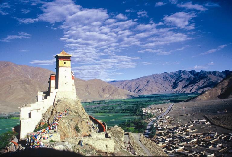
Moving southward it crosses the Nyainqentanglha, the southern gate of the northern Tibet Grassland, before it enters the Lhasa-South Tibet valley. The Yarlung Zangbo River, like a snow-white hada scarf, snakes downward between e gangdese and the himalayas. It flows 2,070 km within China. When it makes a U-turn at Medog, it flows from Bashika into India to become the Brahmaputra River, fnally emptying into the Bay of gengal via Bangladesh The Himalayas in the west measure 2, 400 km long and 300 km wide, with an average elevation of 6, 200 meters. In its middle part are six peaks each of 8,000 meters high, including the Qomolangma, which is 8, 844.43 meters highFormed with limestone, the black-colored peak is wrapped in snow that makes it glisten blindly under the Sun. Such”ice dagoba forests”could be seen only in enormous mountain glaciers of the Himalayas, Geladandong and Kalakunlun.
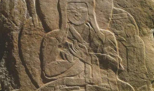
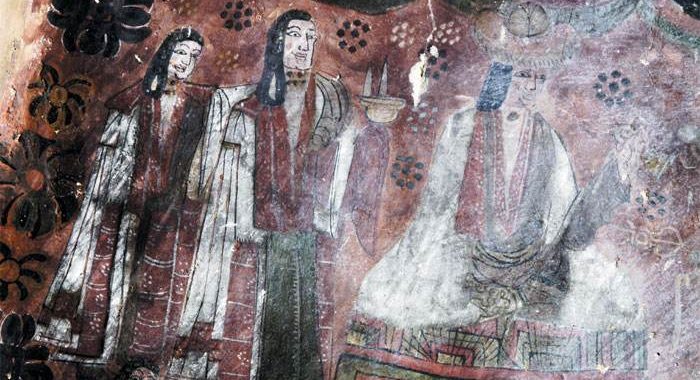
Further west is Ngari, home to the ancient kingdom of Guge. Kalakunlun, or the West Kunlun, is known as the”spine of Asia”. The Ngari Plateau covers an area of 2.5 million square km and is unique geomorphic unit in the world, and possesses astonishing beauty .
This is the Qinghai-Tibet Plateau in the eyes of geologists from rational and academic perspectives.