Miraculous Workmanship of Nature
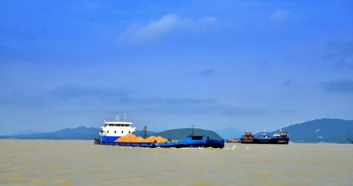
3 min readHaving flowed for so many days and nights,experienced so many alternations of seasons and witnessed so many great changes of the world,the ancient the Yangtze River stll tirelessly surges forward under the blue sky of daytime and the brimming moonlight of night.
About 200 million years ago,the western region of the Yangtze River Basin was still a stretch of boundless sea-Tethys,which extended to the place between today’s Wuxia Gorge and Xiling Gorge,the middle part of Three Gorges of the Yangtze River,and was linked with Indian Ocean and Pacific Ocean.
The Indosinian orogeny of 100 million years ago madethe Tethys rise,formed Kunlun Mountain,Hoh Xil Moun-tain,Bayan Har Mountain and Hengduan Ranges,and at the same time made Qinling Mountain rise and the Tethys withdraw extensively westwards,revealing the Tibet,south Qinghai province, mid-west Sichuan province, mid-west Yunnan province, west Guizhou province, west Guangxi province and west Hubei province of today. Meanwhile, the southern part of the middle reaches of the Yangtze River hunched into land and formed the rudiment of Yunnan-Guizhou Plateau. The part among Qinling Mountain, Heng-duan Ranges, Yunnan-Guizhou Plateau sank deeply as well and formed a basin,i.e. the Sichuan Basin of today.
Sichuan Basin has many large and small waters such as Yunmeng Marsh, Bashu Lake, Xichang Lake, Dianchi Lake, etc, which are what left behind when the Tethys re-treated and they are all linked to one another. The terrain of China at that time was tilted east-high and west-low, there-fore this river-the rudiment of the Yangtze River, was flowing from the east to the west and joined the Tethys.
The Yanshan Mountain movement of 70 million years ago changed the topography of China greatly-Dongting Lake Basin fell and Sichuan Basin rose, and the ancient the Yangtze River actively extended toward Sichuan Basin.
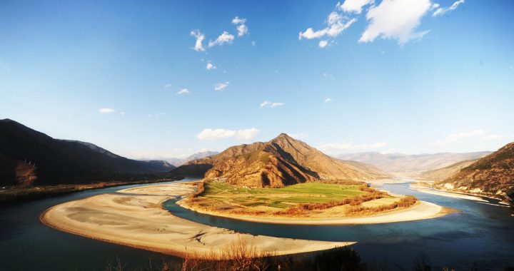
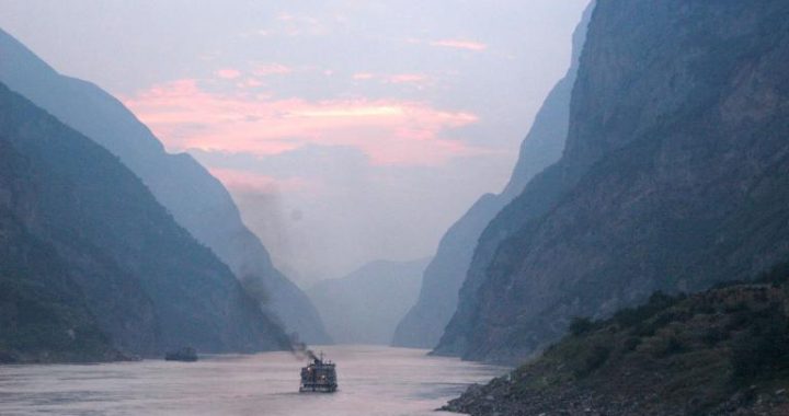
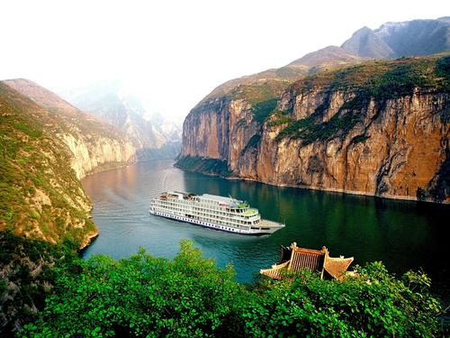
The Himalayas orogeny of thirty or forty million years ago made Tibetan Plateau and Yunnan -Guizhou Plateau rise and Tethys disappear, and most of the land o-riginally under the sea was lifted. As to the degrees of ris-ing, the west was in a more sudden and sharper way, while the east’s rise was comparatively slow and gentle. The topography then was rather similar with the one today. The upper reaches of the Yangtze River were mainly high mountains and plateaus, where at the same time some basins were formed; in the middle and lower reaches hills and hilly area were formed, and on the two sides of the river Hutiao Gorge there were also many plains. Besides, under the forceful down-cutting of rivers, there appeared many deep and dan-gerous valleys in the high mountains of the upper reaches of the Yangtze River. Flowing down the valleys, the river which originally flowed from east to west turned to floweastward and converged with other waters in the east, and further evolved into the Yangtze River today.
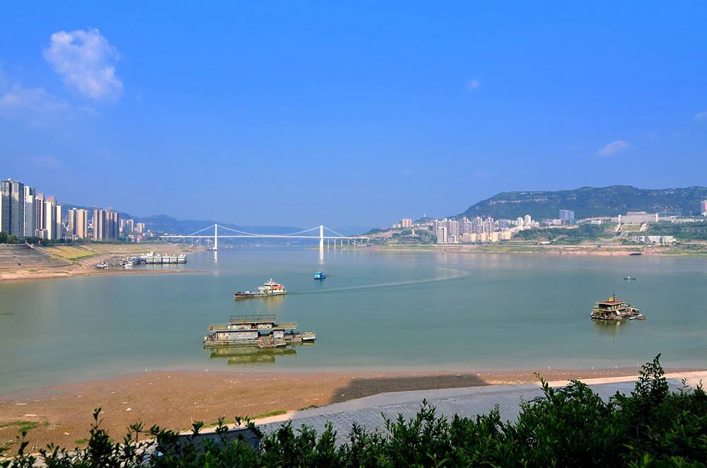
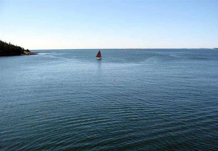
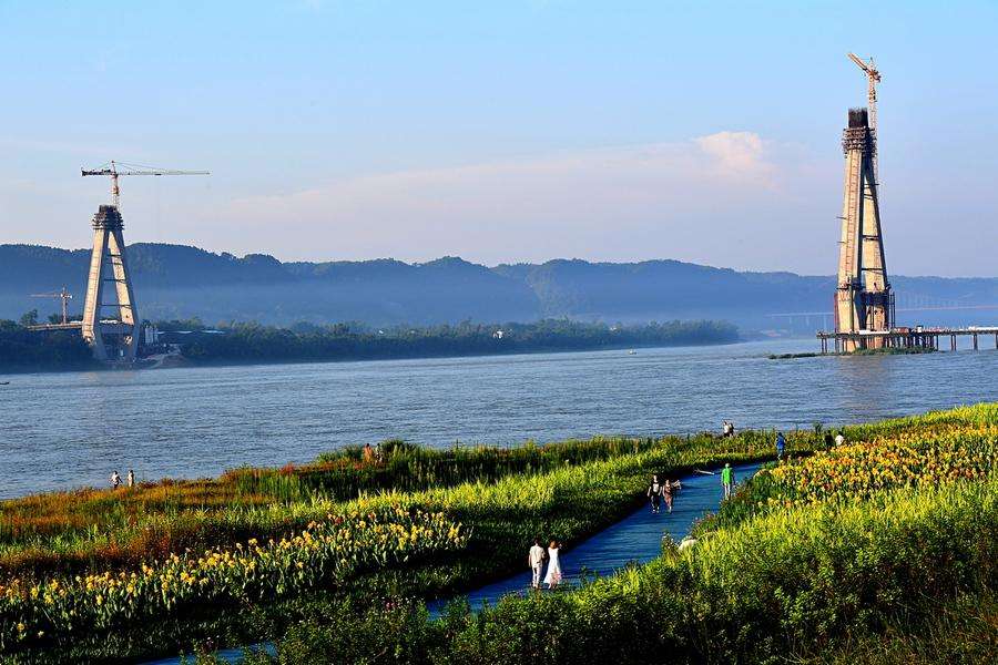
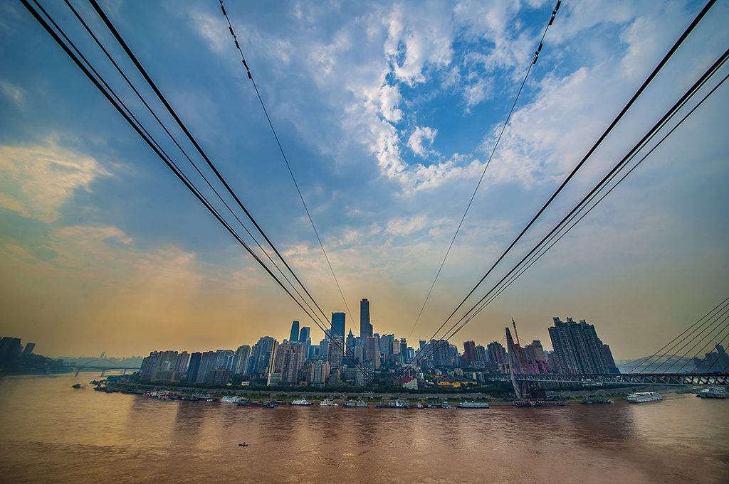
Billowing the Yangtze River roars and runs eastwards until merging into the vast sea it has undergone millions of years’ evolution! How could we not sigh for the superb craftsmanship of nature!