Land resource in xinjiang
6 min readXinjiang has vast territory and abundant resources with the total area of land resources of 166,489,700 hectares, accounting for about 1/6 of the national land area including the flat land, which is the largest, accounting for 56.5% of the total area of Xin jiang; and then mountain land ranks the second, accounting for 38.4% of the total area; and at last, the upland, only 8,580,000 hectares, accounting for 5.2% of its total area. If Xin jiang is divided into Southern Xinjiang, Northern Xinjiang and Eastern Xinjiang, the area of these 5 prefectures of Southern Xinjiang is 106,339,000 hectares, accounting for 63.9% of the totalarea of Xinjiang; and the next is Northern Xin jiang, accounting for 23.5% of the total area of Xin jiang; and at last, Eastern Xinjiang, accounting for 12.6% of the total area of Xinjiang If divided by the using purposes, agricultural land area is 63,084,800 hectares, accounting for 37.89% of the total land area of Xinjiang; and the construction land area is 1,239,800hectares, accounting for 0.74% of the total land area of Xinjiang; unused land 102,165,100 hectares, accounting for 61.36% of the total land area of Xinjiang. In terms of districts, theland utilization ratio of Southern Xinjiang is the highest,80.5%; and then Northern Xinjiang 31.2% and the lowest, Eastern Xinjiang, only 28.7%.
The agricultural land area of Xin jiang is 63,084,800 hectares, including: cultivated land area of 4,124,600 hectares, accounting for 6.54% of the agricultural land area; garden plot 364,200hectares, accounting for 0.58% of the agricultural land; forest land 6,764,800 hectares, accounting for 10.72% of the agricultural land; grass plot land 51,113,800 hectares, accounting for 81.02% of the agricultural land; and other agricultural land 717,500 hectares, accounting for 1.14% of the agricultural land. Per capita cultivated land area is 0.18 hectares.
The land utilization structure of Xinjiang includes the cultivated land area of 4,124,600hectares, accounting for 2.48% of the total land area of Xinjiang; forest land of 6,764,800 hectares, accounting for 4.06% of the total land of Xinjiang; garden plot of 364,200 hectares. accounting for 0.22% of the total land of Xin jiang; grass plot land of 51,113,800 hectares, accounting for 30.70% of the total land of Xin jiang; housing estate and land for industry and mining of 993,300 hectares, accounting for 0.60% of the total land of Xin jiang; transportation land of 62,700 hectares, accounting for 0.04% of the total land of Xin jiang; water conservancy facilities land of 183,800 hectares, accounting for 0.11% of the total land of Xin jiang; and other land of 102,882,600 hectares, accounting for 61.80% of the land of Xinjiang.
The basic farmland of Xin jiang is irrigable land, mainly spreading in piedmont inclined plains, low terraces of all big rivers and alluvial plains in the middle and lower reaches where it is flat and convenient for water diversion. In the upper reaches and high terraces of alluvial plain are lli and Wushi Oases; in the mid-to-lower part of alluvial fan and alluvial-diluvial fan are Kashgar, Hotan and Manas and other oases; at the end of rivers, with cultivated land in the upper and ridge part of delta are Yopurga and Peyziwat and otheroases; in the middle and upper part of the fan delta formed at the big river outlets are Aksu and Korla oases and others.
The paddy field of Southern Xinjiang mainly distributes in Wushi, Aksu, Wensu and Awati County in Aksu River watershed, Kuqa County in Weigan River watershed, Shufu County in the lower reaches of Kizilsu River, Shache and Poskam County in the lowerreaches of Yarkant River, Hotan and Moyu County in Hotan River watershed, and Keriya County in Keriya River watershed. The paddy field in Northern Xin jiang is mainly distributed in Miquan, Hutubi, Manas and Wusu County, as well as Qapqal and Yining County in the lower reaches of lli River.
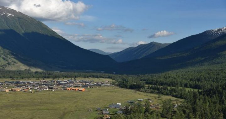
Dry land, including “Gobi Chuang Tian(the reclaimed farmland)”and cultivated land with special hydrogeological conditions, mainly distributes at the north slope of Tianshan Mountains, lli River Valley, the south slope of the Altai Mountains and Tacheng Basin.These places have no irrigation facilities, so they have to rely on natural precipitation for growing plants. The dry land of lli District mainly concentrates on Zhaosu, Huocheng County and the farm of the 41h Agricultural Division of Xin jiang Production and Construction Corps; the dry land in Changji prefecture mainly concentrates on Jimsar and Qitai County; and the dry land of Altai District mainly distributes in Burqin, Fuyun County and the farm of the 10th Agricultural Division of Xinjiang Production and Construction Corps.
The cultivated land in Xinjiang of 4,124,600 hectares includes the irrigable land area 3,907,000 hectares, accounting for 95% of the total cultivated land area; dry land area 171,000 hectares, accounting for 4% of the total cultivated land area; and paddy field area 47,000 hectares, accounting for 1% of the total cultivated land area.
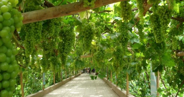
The garden plot land of 364,200 hectares includes the orchard area 346,000 hectares, accounting for 95%; and other garden plot area 108,000 hectares, accounting for 5%.
The forest land area of 6,764,800 hectares in Xinjiang accounts for 11% of the farm land, including the natural forest area about 52.8%, bush wood area about 34.2% and the others being woodland and harvesting glade.42% of the forest land distributes in mountain areas, mainly concentrating in the western Tianshan Mountains and the Altai mountains;58% of the forest land distributes in plain, mainly concentrating in the rural area of Southern Xin jiang and along the big rivers. The Euphrates poplar forest has been preserved well along Tarim River, which is the largest in the world.
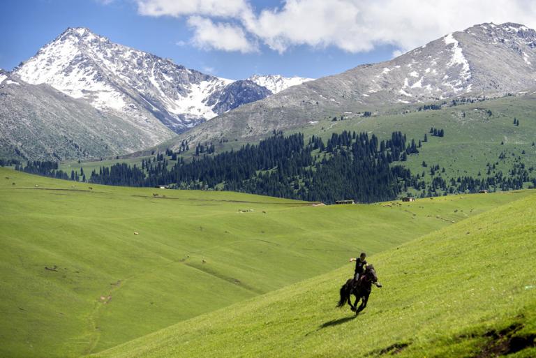
The grass plot with an area of 51,113,800 hectares in Xin jiang accounts for 80% of the agricultural area, including the sown pasture which mainly distributes in Ili, Altai, the north slope of Tianshan Mountains and Kashgar Districts; and natural pasture(including improved pasture) mainly distributes at the south slope of the Altai Mountains and the area of Tianshan Mountains as well as the area along Tarim River.
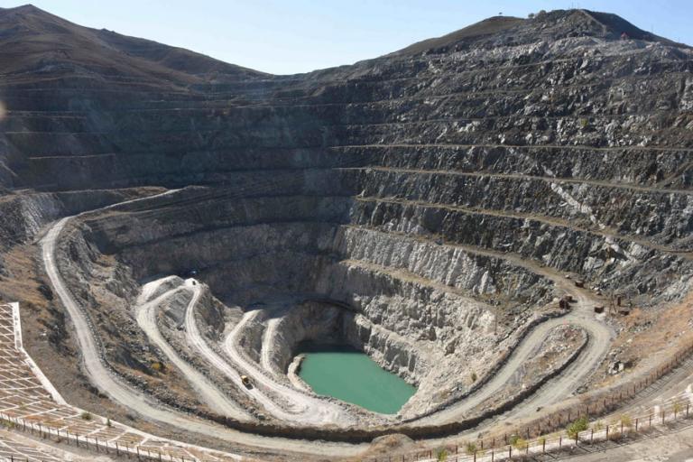
The residential area and land for industry and mining in Xinjiang is 993,300 hectares, including: independent industrial and mining land, mainly distributing in the more economically developed area at the north foot of Tianshan Mountains, Turpan Basin, Kumul Basin and the north of Junggar Basin and the north of Tarim Basin. Among the independent industrial and mining land, the land for oil industry takes the largest share.
The major existing problem of the cultivated land in Xinjiang is low soil fertility and serious salinization. According to the data of the Soil Survey Office of Xin jiang Autonomous Area, the average organic content of cultivated land soil is 1.11%, including that in Southern Xin jiang 0.89% and Northern Xinjiang 1.35%; the average nitrogen content is 0.082%, including that in Southern Xinjiang 0.064% and Northern Xin jiang 0.099%; the average rapid available phosphorus content is 4.8 ppm, including that in Southern Xinjiang 4.3 ppm and Northern Xinjiang 5.5 ppm. In the 6-level standard of the national cultivated land soil nutrients, the land in Southern Xinjiang and Northern Xinjiang is respectively Level IV and Level V. In the cultivated land, the area of land lacking of zinc accounts for 62% while the area of land lacking of manganese accounts for 37%. Variouslow productive soil, such as the one of salinization, hardening, erosion and thin layer, accounts for 53% of the cultivated land, in which the salinized soil accounts for 57% of the low productive soil, while hardening soil accounting for 15.2%, eroded soil accounting for 13.4%, and thin layer soil accounting for 14.2%.
The unused land of 102,165,100 hectares in Xinjiang accounts for 61% of the total land area of Xinjiang, including the desert area accounting for about 34%, bare land area accounting for 27%, Gobiarea accounting for 19.3%, wild grass land area accounting for 15% , and saline-alkali soil area accounting for 4%. The unused land of Xin jiang mainly distributes in Southern Xin jiang, accounting for about 75%; and then in Eastern Xin jiang, accounting for about 15.33%; and in Northern Xin jiang, accounting for only 9.57%. Ili Valley has the least unused land. In the classification of the unused land resources in Xin jiang, the deserts and Gobiaccount for 53%, which are hard to exploit. Therefore, based on the current conditions, the development and utilization of the land resources in Xin jiang mainly focus on the uncultivated land resources.
Xinjiang has abundant agricultural resource reserves. In the north of Tarim, the waste land suitable for agriculture is the largest, mainly distributing in Aksu River Delta, Weihe River Delta, Konqi River Delta and alluvial plain along Tarim River; and then Tacheng, Bole and the south of Junggar Basin, mainly distributing in the alluvial plain on the north of Wu-Yi Road and on the south of the Taklimakan Desert; in addition, it also distributes in the south and west of Tarim Basin and the north of Junggar Basin. In lli, Turpan and Kumul districts, there is least uncultivated land for agriculture. In terms of regions, over 80% of the uncultivated land suitable for agriculture mainly distributes in Southern Xinjiang, and then Northern Xinjiang, while Eastern Xinjiang only accounting for about 4%.
Land resource is fundamental of everything, which is an indispensable condition for human livelihood and production and the collective reflection of agricultural scale and production level. The absolute area of the land of Xinjiang is large, so the land resource reserves are abundant, which can provide a solid foundation for the social and economic development of Xin jiang.