Unique Landform
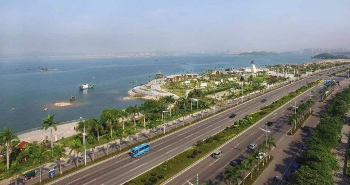
1 min readAreas of flat land in Guangxi are small and narrow 71% of Guangxi is made up of mountains and hills. Mao’er Mountain in the northeast part of the region rises 2, 141 m and is the highest in south China. Following the lie of the land, the Guijiang, Liujiang, Yongjiang rivers all flow southeast into the Xijiang River and ultimately into the Pearl River.
Mao’er Mountain, the highest peak in southern China
The Tropic of Cancer Arc in Guiping
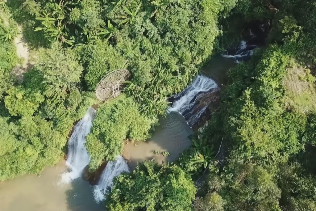
There are some 90, 000 sq km of karst landform in the west, southwest and northeast of Guangxi, accounting for some 38.5% of its total area. Its karst topography is known for crystal-clear streams, weird peaks and rocks, underground rivers and karst caves with grotesque stalactites in shapes resembling bamboo shoots, columns, curtains, dikes, animals and plants.
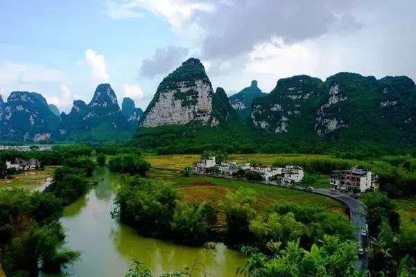
Three outstanding examples of karst landforms in Guangxi are the Lijiang River scenery of Guilin, a masterpiece of karst landscape; Detian Waterfall in Chongzuo; and Dalong Lake Scenic Area in Nanning.