Location and landscape
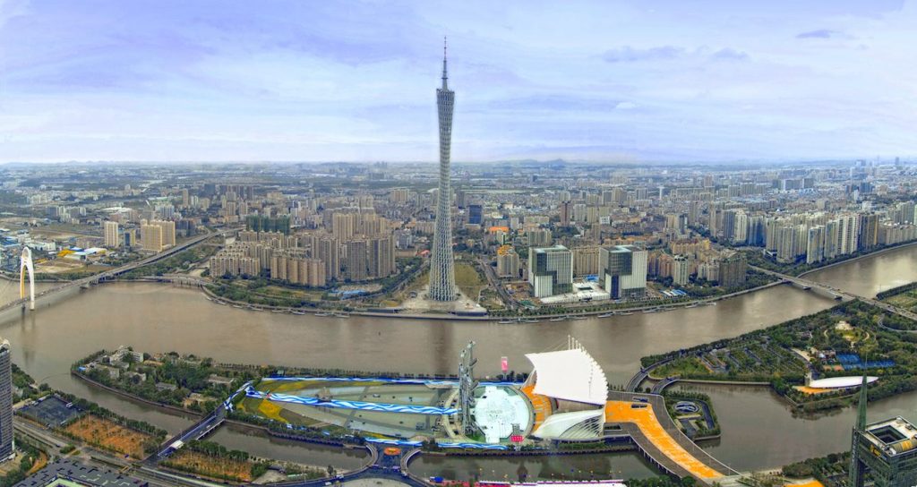
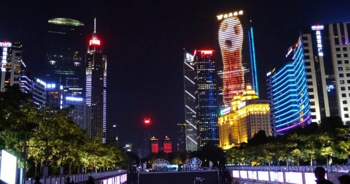
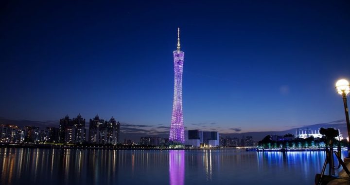
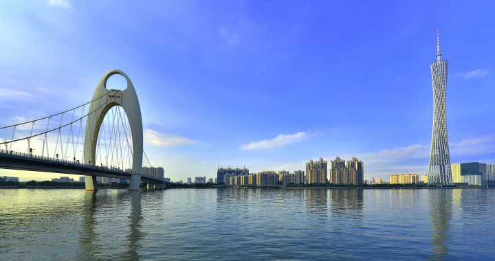
2 min readGuangzhou- known historically as Canton or Kwangchow- is the capital and the largest city of the Guangdong province. As one of the five National Central Cities, it holds sub- provincial administrative status. Located on the Pearl River, about 120 km northwest of Hong Kong and northeast of Macau, Guangzhou is a key national transportation hub and trading port.
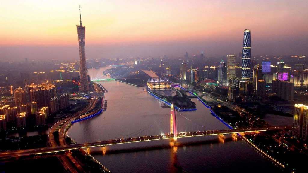
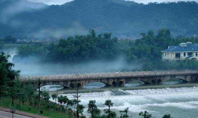
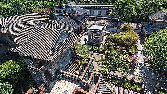
Located in the south- central portion of Guangdong, the city is part of the Pearl River Delta and the city centre is situated next to the Baiyun Mountain, which is locally referred to as” the lung of the city”. The total area under the city’ s administration is 7, 434. 3 square kilometers, with the 10 districts occupying 3, 843. 43 square kilometers, or 51. 7% of the total, while the two county- level cities occupy the rest. The elevation of the prefecture generally increases from southwest to northeast, with mountains forming the backbone of the city, and the ocean comprising the front.
Climate
Guangzhou spans from 112 ° 57′ to 114 ° 03′ E longitude and 22 ° 26′ to 23 ° 56′ N latitude. Located just in the south of the Tropic of Cancer, Guangzhou has a humid subtropical climate influenced by the East Asian monsoon. Summers are wet with high temperatures, high humidity and a high heat index. Winters are mild and comparatively dry. Guangzhou has a lengthy monsoon season, spanning from April through September. Monthly temperature averages range from 13. 6 ℃ in January to 28. 6 ℃ in July, while the annual mean is 22. 6 ℃, the relative humidity is approximately 77%, whereas annual rainfall in the metropolitan area is over 1, 700 mm. Extreme temperatures have ranged from- 0. 3 ℃ to 39. 1 ℃. The last recorded snowfall in the city was in January 1893.