Reconstruction of Tian’anmen Square
2 min readIn addition to this,the East and West Chang An Streets were broadened and prolonged and so became a major horizontal axis from west to east across the city.
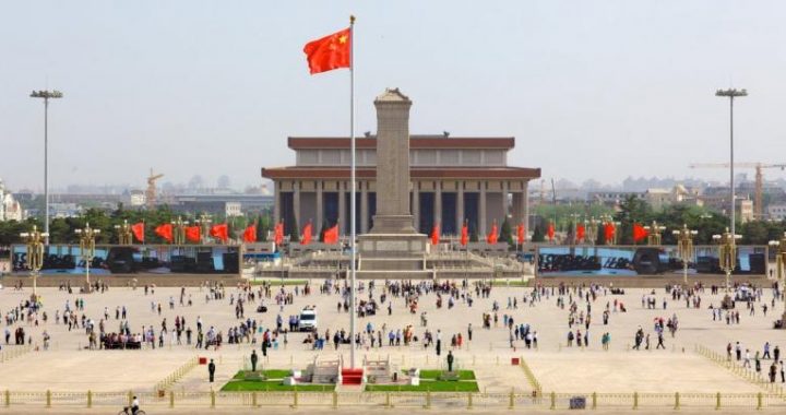
This horizontal axis,to a certain extent,neutralized the dominating effect of the original perpendicular axis from north to south.Meanwhile,it also broadened the field of perception.The Forbidden City,which had always been the focal point of the capital,has now become”the backyard”and support to Tian An Men Square.Its present function as the”Palace Museum”is more appropriately represented.The objective effects mentioned above can clearly be seen on the surface plan of Beijing.
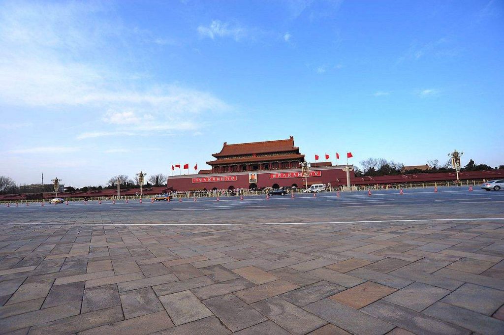
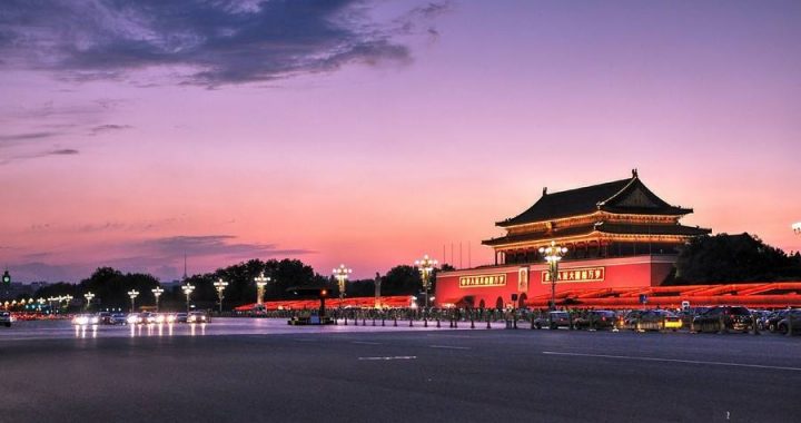
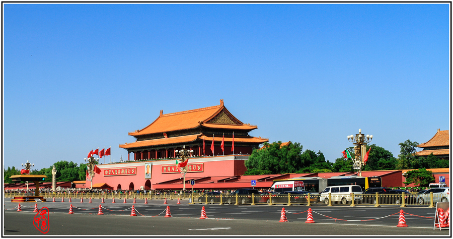
Its characteristics as the political centre of China are fully expressed by this transformation of Tian An Men Square.
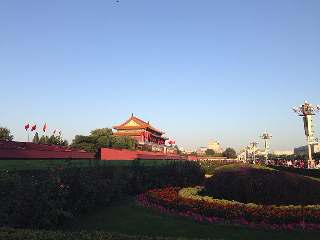
4-4Boulevards extending eastward and westward from Tian An Men Square respectively-East and West Chang An Streets.
So much for the discussion of the plan and design of Old Beijing and its future development and transformation.Let us now turn to an exploration of the design and plan of the city of Washington.Comparisons will be made between Beijing and Washington in the discussion.
The City of Washington
·Choice of the Site and the Original Design of the City Early in 1791(the 56th year of the reign of Emperor Qianlong),the site of Washington was decided and the planning began, and it was only eight years after the announcement of Declaration of Independence.3 From the very beginning the issue of choosing a permanent seat of government had aroused much controversy and the decision was difficult to make, so it was long delayed. Finally, the Congress authorized President George Washington to decide on the site of the capital. The president surveyed and inspected in person the prospective location and finally decided on the present site of the capital. It is situated in the central part of the Atlantic seacoast, in a triangular area between the Potomac River and its eastern tributary called the Anacostia River or the Eastern Branch. The site is a plain with slightly inclining slopes.
There is a hill in the middle of the plain. It looked prominent and was called, at that time, Jenkins Hill. Borderlines of private properties crisscrossed the whole area. Most of the land was covered by wild woods, with marshlands dotted on the plain. It was in fact an area not wholly cultivated. On the northern part of the triangular district, the land rose and several rivers and creeks flowed down the slope. The most well known was Goose Creek which flows along the foot of Jenkins Hill and then turns westward to join the Potomac. Two small settlements were respectively established on the tip of the triangle and at the northwestern corner. Only a few residents lived there, though grid-like streets were shown on the map drawn in the primary survey. Georgetown, located at the northwestern corner opposite to Rock Creek, was the largest settlement of the time.