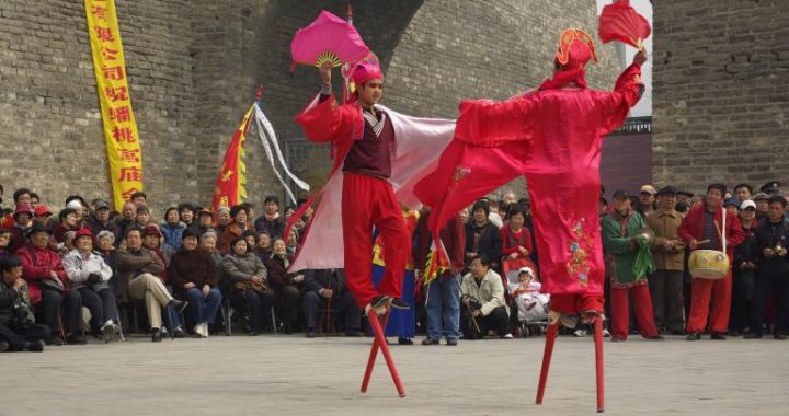
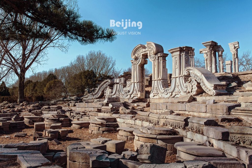
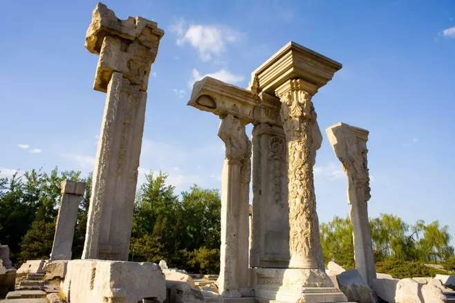
Beijing city site
4 min readBeijing and Washington are two capital cities of two countries with totally different social systems. The design and planning of the two cities have their uniquefeatures respectively. Chronologically, there is a long interval between their initial constructions, yet their design and planning both reflect the depth of their own cultural and historical background. The original plan of old Beijing is a masterpiece of city planning in feudal China, while the plan of Washington inherits the elegance of the sixteenth-century Renaissance tradition and the graceful urban design of Western Europe, and is a marvellous specimen of the achievement in the era of rising capitalism.
China, after the lapse of feudal dynasties, suffered from the oppression of semi-colonialism and semi-feudalism. She is now in the era of socialist construction.
America, on the other hand, is a highly developed capitalist nation, still following the capitalist road and even casting her influence abroad. The two capital cities, which are the focal point of expression for their respective national cultures and histories, would be confronted with different problems in city planning and design.
For city planning and design, Beijing and Washington share some similarities in form, but they are fundamentally different. The most prominent feature in common is the decision at the infant stage of city construction to fix a central axis line for the layout of the whole city. Nevertheless, their fundamental difference consists in the respective themes to be represented owing to the totally different social systems in the very beginning of their planning.
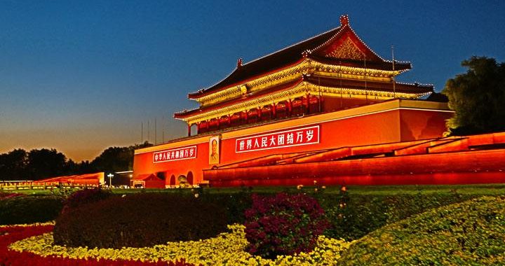
· Changes of Beijing’s City Sites and Its Present Location The origin of the primitive settlement of Beijing could be dated back to over 3,000 years ago. It was located at the southwest part of present Beijing city which had not begun to be built until about 720 years ago(1267 A.D.). The lake district of the ancient Gaoliang River was chosen to be the center for the design and plan of the new city, that is, the Dadu City(the Great Capital) of the Yuan Dynasty (1271-1368). The city underwent some reconstruction in the early days of the Ming Dynasty(1368-1644)and a new name Beijing was given to it. In 1553 A.D, an outer wall was added in the southern part of Beijing city.Thus,we have an inner city and an outer city of Beijing,both encircled by city walls.The two combined took the shape of a Chinese character”凸”,occupying an area of 62 sq.km.Hence the surface plan of Beijing city was fixed,and it had been preserved as it was until 1949 A.D,when the New China was born.It is now called the Old City of Beijing.
At the beginning of building old Beijing,the southern half of the lake was enclosed within the city and was designed as the central part of the royal garden in the Imperial City.In accordance with the feudal tradition,it was named”Tai Ye Chi”(the Holy Water Pond).In the early part of the Ming Dynasty a new lake was dug at the southern tip of the Holy Water Pond.This is the present Nan Hai(the South Sea).The upper part of the original lake left out of the Imperial City was called Ji-shui Tan(the Reservoir).It was also in the early years of the Ming Dynasty that the northern city wall of the capital was moved southward,thus excluding the northwestern part of Ji-shui Tan from the city.The excluded part was called Tai-ping Hu(the Peaceful Lake),which was filled up during the Cultural Revolution.And the other part inside the northern wall of the great city but outside of the Imperial City is the Shicha Hai of today,made up of Qian Hai(the Front Lake),Hou Hai(the Back Lake)and Xi Hai(the West Lake).The southwestern tip of Qian Hai had also been filled up and reclaimed for building sites recently.
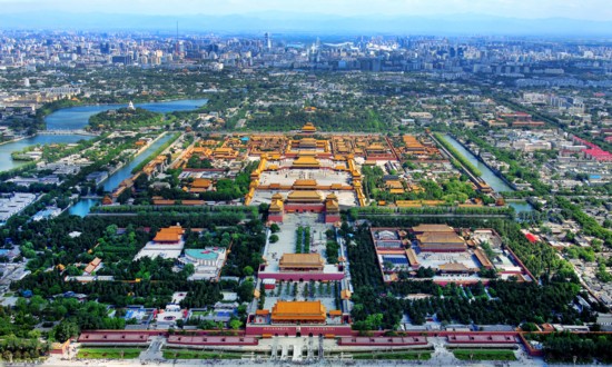
In sum,the original lake district furnished essential geographical conditions for the establishment of the Old City of Beijing.Its original appearance had long been altered,but it still occupies an important place.There is a plan to connect the six south and north lakes(that is,Nan Hai,Zhong Hai and Bei Hai in the south and Qian Hai,Hou Hai and Xi Hai in the north),which is part of the general plan for developing the new Beijing.In order to illustrate the theme of the plan of the Old City,it’s better to show the changes of watercourses and city sites of old Beijing in the following figure.